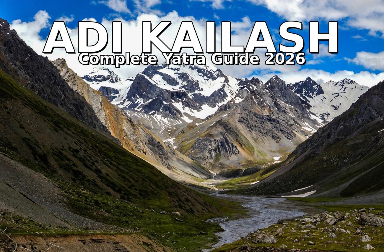
Adi Kailash: The Kailash You Can Actually Visit Without a Passport — Complete Yatra Guide 2026
For most devotees, Mount Kailash sits behind a wall of paperwork. It stands in Tibet, which means a Chinese visa, a group permit, a long wait and a heavy budget before you even reach the mountain. Adi Kailash removes that wall. It is a sacred Kailash in its own right, it rises in Pithoragarh district of Uttarakhand, and the whole journey happens inside India. That is the simple reason this yatra has become one of the most talked-about pilgrimages of recent years: the darshan of a Kailash, without leaving the country.
There is one honest catch, and this guide puts it first rather than burying it. Adi Kailash stands in a sensitive border valley, so while you do not need a passport or a foreign visa, you do need an Inner Line Permit from the SDM office in Dharchula. Only Indian citizens can get it. This article explains that permit in plain language, along with the route, the best time to go, the altitude, the stay and food, and the questions every first-time traveller asks.
One important note on timing: the yatra season runs roughly from May to October, and the route closes for winter. The 2026 season has now ended, so use this guide to plan your journey for the next season, when the road reopens in spring. Road conditions, permit rules and fees can change between seasons, so always confirm the latest position with the Pithoragarh district administration, KMVN or your tour operator before you travel.
Why Adi Kailash Matters
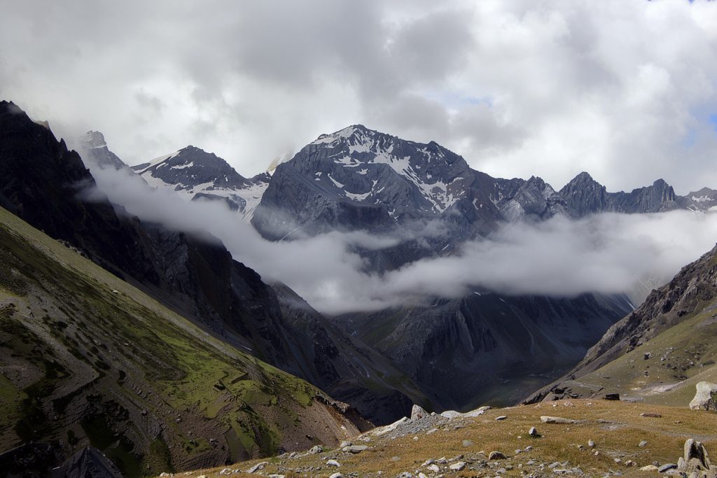
Adi Kailash, also called Chhota Kailash, is a peak of about 5,945 metres in the Vyas Valley of Pithoragarh district, near the India–Tibet border. In shape it resembles Mount Kailash, and in local belief it is the younger brother of the great Kailash, an abode of Lord Shiva where sages meditated. Pilgrims do not climb it. Nobody climbs any of the Kailash peaks. You travel to its base, look up, and that is the darshan.
Adi Kailash is the second of the Panch Kailash, the five sacred Kailash peaks of Hindu tradition. The five are Mount Kailash in Tibet, Adi Kailash in Uttarakhand, Kinnaur Kailash in Himachal Pradesh, Shrikhand Mahadev in Himachal Pradesh, and Manimahesh Kailash in Himachal Pradesh. Four of the five stand in India, and of those, Adi Kailash is the one you can reach by road with only short walks at the end. That combination — a Panch Kailash peak, reachable without a trek of many days and without crossing an international border — is what makes this yatra special.
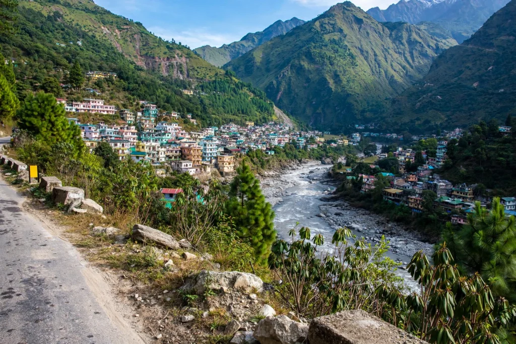
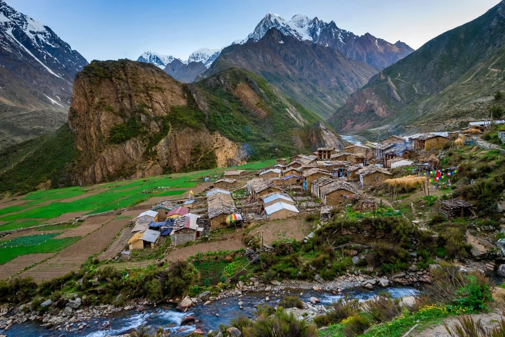
The setting adds to it. The route follows the Kali river valley through the Byans Valley, past villages of the Byansi, or Rung, community, who were historically traders on the India–Tibet route. Their villages — Gunji, Nabi, Kuti, Garbyang — host most of the homestays on the yatra today. The road passes Panchachuli views for much of the drive from Dharchula, and the valley feels steadily more remote as you climb, until the last settlements give way to open high meadow.
Om Parvat: The Mountain That Shows ॐ
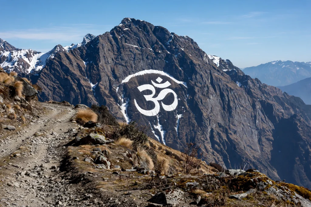
No Adi Kailash journey is complete without Om Parvat, and most itineraries pair the two in a single trip. Om Parvat is a high Himalayan peak whose snow, with no human involvement at all, arranges itself into the shape of the sacred ॐ symbol on the mountain’s face. You do not climb it either. You see it from a roadside viewpoint at Nabhidhang, a short drive from Gunji, and the sight is the reason many pilgrims make this journey at all.
The symbol shows most clearly in May and June, when partial snowmelt makes it stand out sharply, and again on clear post-monsoon mornings in September and October. On a cloudy day you may see nothing at all, which is worth knowing before you go: Om Parvat darshan depends on the weather, and no operator can guarantee it. The viewpoint sits at roughly 4,300 metres, so even this “easy” darshan happens at real altitude, and you should be dressed for cold wind.
Om Parvat is best understood as a viewpoint experience. You drive to Nabhidhang, step out, look up, and take it in. There is no trek to the peak, and that is exactly why it works for older pilgrims and families who could not attempt a hard climb.
What You Actually See: Jolingkong, Parvati Sarovar and Gauri Kund
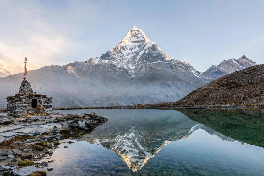
The heart of the yatra is Jolingkong, the base below Adi Kailash at roughly 4,600 metres. The road now runs to Jolingkong, so most pilgrims drive in and then walk only a short distance. From here, the face of Adi Kailash rises directly above you, and on a clear morning the whole scene has a stillness that people describe as the most powerful part of the trip.
A short walk from Jolingkong brings you to Parvati Sarovar, a small glacial lake about a kilometre or two away. On still, clear mornings the surface mirrors the Adi Kailash peak above it, and that reflection is the defining image of the yatra. Beside the lake stands the Shiva–Parvati temple, maintained by the Indian Army, a clean and quiet space where most pilgrims spend time in prayer.
A little further on, about another couple of kilometres of easy walking over rocky glacial ground, lies Gauri Kund, the glacial pool of Goddess Parvati at the very foot of the peak. The walk is short but it happens at around 4,500–4,600 metres after a fast road climb, so it feels much harder than the distance suggests. Take it slowly, carry water, and do not rush back. There is no food, shelter or toilet at the kunds, so carry what you need and leave nothing behind.
Other stops along the route carry their own stories. Kuti village, in the Kuthi Yankti valley, is linked in local belief to the Pandavas. Near Kalapani, by the source of the Kali river, stands the Kalapani temple and the Vyas Gufa, associated with the sage Vyasa. In recent seasons the administration has also allowed guided visits to a viewpoint near the old Lipulekh Pass, from where Mount Kailash itself is visible on clear days. That is a bonus, not a promise, and it depends on permissions and weather on the day.
If you are planning a wider Kumaon trip around this yatra, our Munsiyari guide is a natural companion read — Munsiyari is the other great Pithoragarh base for high Himalayan views: https://uttarakhand.tours/munsiyari-tourism-10-best-places-to-visit/
The Route, Day by Day
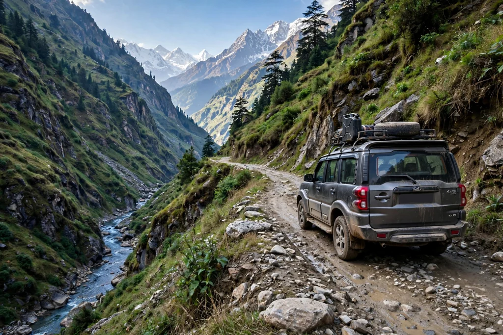
The standard route runs from Delhi through Kathgodam or Tanakpur, then Pithoragarh, Dharchula and Gunji to Jolingkong. The full journey from Delhi and back usually takes about a week, including a buffer day. Distances below are approximate and vary with road conditions, so treat them as a planning guide rather than a timetable.
Day 1: Delhi to Kathgodam or Tanakpur, then on to Pithoragarh. Most travellers take an overnight train or bus from Delhi to Kathgodam, or drive to Tanakpur, about 290 km from Delhi. From Kathgodam the road climbs to Pithoragarh, roughly 200 km and a full day’s drive of seven to eight hours. Pithoragarh, at about 1,800 metres, is the last proper hill town on the route, with hotels, a hospital and a well-stocked pharmacy. Stock up here.
Day 2: Pithoragarh to Dharchula, about 90 km in three to four hours. The road descends to the Kali river valley and follows the India–Nepal border. Dharchula, at roughly 1,000 metres, is the gateway town and the last major settlement before the restricted zone. This is where the permit work happens, and where you should keep at least half a day free for it. Dharchula has the last reliable ATM, the last well-stocked shops, and a KMVN rest house. Buy everything you will need beyond this point here, because there are no ATMs further up the valley.
Day 3: Dharchula to Gunji, about 90 km in five to six hours by 4×4. This is the hardest driving day. The road climbs through Tawaghat, Malpa and Budhi, with permit checkposts along the way, and the last stretch is a rough mountain road where only high-clearance 4×4 vehicles run. Private vehicles are not permitted beyond Dharchula. You travel in KMVN vehicles or tour-operator 4x4s with the necessary border clearances. Gunji, at about 3,200 metres, is the route junction and the acclimatisation halt. It is the last stop with organised lodging and medical support before the road splits towards Adi Kailash and Om Parvat. Sleep here, drink water, and do not rush the climb.
Day 4: Gunji to Jolingkong and back, about 40 km each way. An early start takes you through Nabi and Kuti villages to Jolingkong. This is the darshan day: Adi Kailash from the base, the walk to Parvati Sarovar and Gauri Kund, and prayer at the Shiva–Parvati temple. Return to Gunji the same evening. Jolingkong has no permanent stay, so it is a day trip from Gunji.
Day 5: Gunji to Nabhidhang for Om Parvat. A short drive from Gunji brings you to the Om Parvat viewpoint at roughly 4,300 metres. Most itineraries combine this with a visit to Kalapani, the Vyas Gufa and the Lipulekh area. Return to Gunji or start the descent to Dharchula depending on your plan.
Day 6–7: Return to Dharchula, then Pithoragarh and on to Delhi or Kathgodam. Keep one buffer day in the plan. Landslides, weather and permit delays are a normal part of this route, and a buffer day is what turns a delay into a story instead of a missed train.
If you want to understand how this yatra fits into Uttarakhand’s wider sacred geography, our Panch Kedar guide covers the five Shiva temples of Garhwal, a different but equally revered circuit: https://uttarakhand.tours/a-complete-guide-to-the-panch-kedar-yatra/
The Permit: The One Thing You Must Not Skip
The Inner Line Permit, or ILP, is the single most important document on this yatra. The area beyond Dharchula is a restricted border zone, and no pilgrim, vehicle or group can enter the Vyas Valley without it. It is checked at multiple ITBP and police posts along the route, including Tawaghat, Malpa, Budhi and Gunji. There is no route that bypasses the checkpoints.
Who issues it: the Sub-Divisional Magistrate (SDM) office in Dharchula, or through KMVN (Kumaon Mandal Vikas Nigam), the government body that runs the official yatra registration. One permit covers both Adi Kailash and Om Parvat, so mention both in your application.
Who can get it: only Indian citizens. Foreign nationals, NRIs travelling on foreign passports and OCI card holders are not permitted beyond Dharchula into this sensitive border zone. This is a hard rule, not a formality, and it is the real meaning of “without a passport” — the journey stays within India, so no foreign visa is needed, but the border zone has its own permission system, and that system is open to Indian citizens alone.
Documents usually asked for: a government photo ID such as Aadhaar, voter ID or passport (original, plus several photocopies), a few recent passport-size photographs, a medical fitness certificate from a registered doctor, and a self-declaration affidavit. Some operators and seasons also ask for a police verification report. Carry the original ID on your person for the whole journey, not packed away in luggage, and carry several printed copies of the permit itself, one for each checkpoint. A small fee applies; the exact amount varies by season, so confirm it on the portal rather than trusting last year’s figure.
How to apply: operators commonly cite the Pithoragarh district ILP portal (pass.pithoragarh.online), where you can pre-register, but the physical permit is generally still collected in person at Dharchula. Allow at least a few working days for processing, and remember the SDM office is closed on Sundays and public holidays, so plan your Dharchula day accordingly. The safest approach for a first-timer is to let KMVN or a registered operator handle the permit end to end, and to confirm the current document list on the portal for your own dates, since requirements can change between seasons.
Best Time to Visit
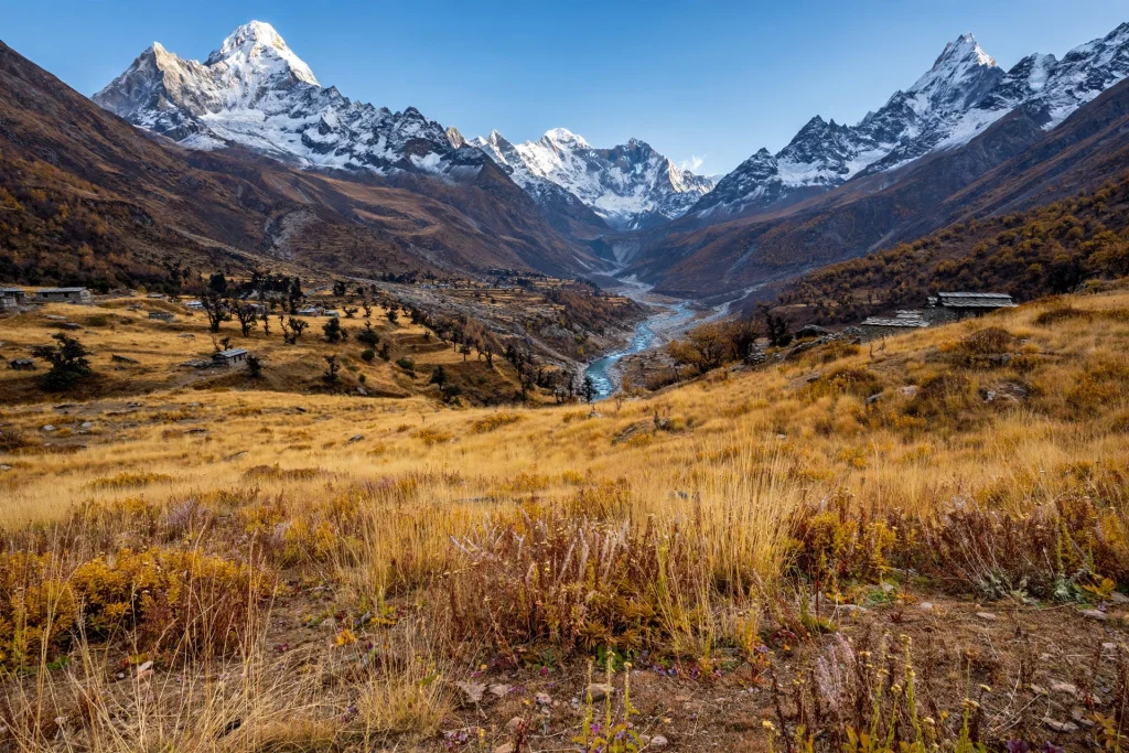
The yatra season generally runs from May to October, and the 2026 season was flagged off from Dharchula in early May. The route closes for winter, roughly November to April, when snow blocks the higher road and permits are not issued.
The two good windows are May to mid-June and mid-September to early October. May and June bring clear roads, cold mornings and the most pilgrims, with the Om Parvat symbol often at its sharpest as the snow melts. September and October bring the crispest post-monsoon skies, the clearest reflections in Parvati Sarovar, and far fewer crowds. Many experienced travellers prefer October for the visibility, though early snowfall can close the higher road sooner than expected, so go early in the month rather than late.
Avoid July and August. The monsoon brings heavy rain, and this stretch has a history of landslides that can block the road without warning. In 2026 the yatra was suspended during the monsoon for exactly this reason. Do not plan a July or August trip unless you are prepared for the possibility of being turned back at Dharchula.
Fitness and Altitude: The Real Challenge
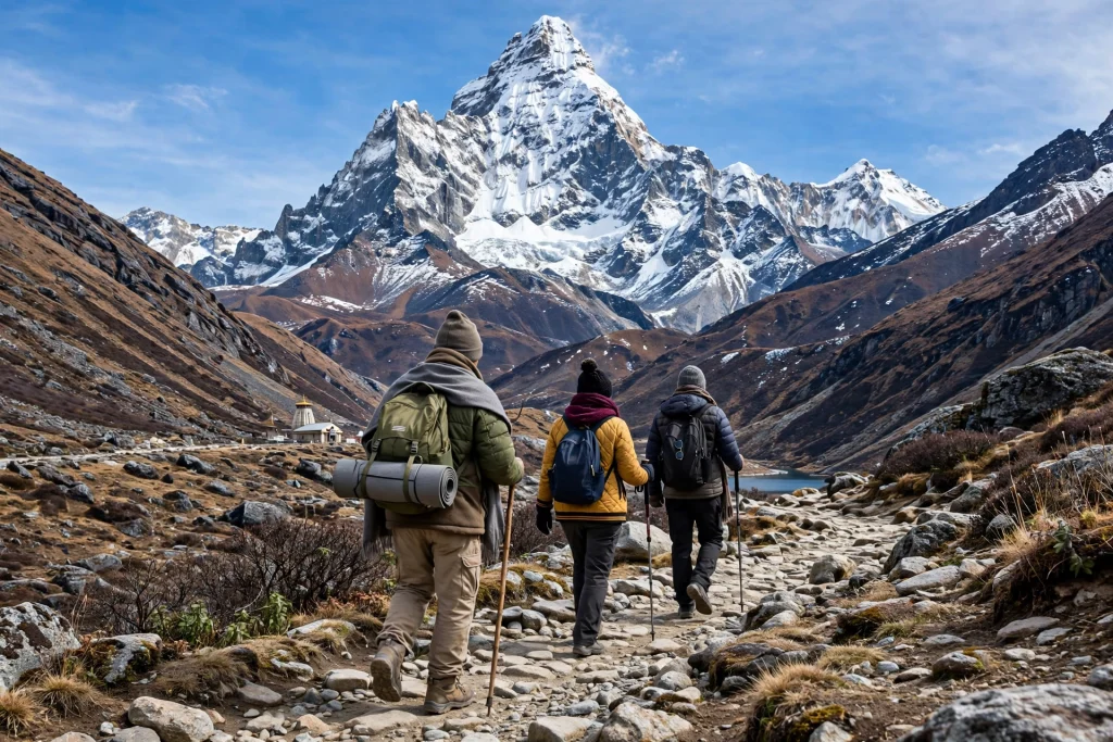
Here is the honest truth about this yatra: the walking is short, but the altitude is serious. You sleep at Gunji at about 3,200 metres and spend your darshan day at roughly 4,600 metres, having climbed from Dharchula at about 1,000 metres in a single day’s drive. That fast a climb is what causes altitude sickness, not the walking.
Take the acclimatisation night at Gunji seriously. Do not try to push on to Jolingkong on the same day you reach Gunji. Drink far more water than you think you need, avoid alcohol, eat light, and walk slowly at the top. Headache, nausea and sleeplessness are common warning signs. If they get worse, descend. There is no shame in it, and there is medical support at Gunji, but the real treatment for altitude sickness is going down.
A medical fitness certificate from a registered doctor is mandatory for the permit, and that is a good thing. Get yourself checked before you book, especially if you are over sixty, have heart or lung conditions, or have had altitude trouble before. Pilgrims in older age groups face stricter screening. Carry any regular medicines in your day bag, along with basic altitude medicine only if your doctor has advised it, plus sunscreen and lip balm, because the sun at this height is fierce even when the air is cold.
Children can travel on this route, but this is not a casual family outing. The long drives, the cold, the basic facilities and the altitude make it demanding for small children, so talk to your doctor and your operator before taking young kids.
Stay, Food and What to Pack
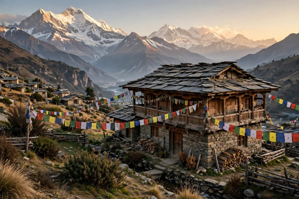
Beyond Dharchula, accommodation is basic, limited and must be pre-booked. There are no luxury options up the valley. Dharchula has a KMVN rest house and a few private hotels, the last reliable stop with hot water. Gunji has a KMVN rest house and a handful of Bhotiya-run homestays, with shared rooms, thick blankets and simple vegetarian meals. Nabi and Kuti have traditional family homestays. Rooms in Gunji are few, and in the May–June peak they fill weeks ahead, so book through a registered operator well in advance rather than hoping for a walk-in bed. Jolingkong has no permanent stay at all, which is why it is done as a day trip from Gunji.
Food is simple and warm: dal and rice, Kumaoni rotis, vegetables, and endless chai. Carry dry snacks, energy bars and water-purification tablets for the darshan day, because there is nothing to buy at the kunds. Mobile network beyond Dharchula is patchy, with BSNL the most reliable, so download offline maps, inform family beforehand, and carry a power bank, since power up the valley is erratic.
Pack for cold and sun at the same time: layered warm clothing, a good windproof jacket, woollen cap and gloves, sturdy walking shoes with grip, sunglasses, sunscreen, a torch, a first-aid kit, and a sleeping-bag liner for cold homestay nights. Carry cash, since there is no ATM beyond Dharchula and card payments are unreliable up the valley. Keep your permit, ID and a copy of your medical certificate in a waterproof pouch in your day bag.
Costs vary a lot by package length, group size and operator, so this guide gives no fixed price. As a rule of thumb, road-based packages are commonly quoted by the day, and the price usually includes transport, homestays, meals and permit help. Confirm exactly what is included before you pay, and start with KMVN, the government body, if you want the official packages.
For a different flavour of Uttarakhand after the high mountains, our offbeat places guide covers quieter corners of the state, from Munsiyari to Peora: https://uttarakhand.tours/8-stunning-offbeat-places-in-uttarakhand-to-avoid-crowds-2026/
FAQs
Do I need a passport for Adi Kailash?
No. The entire yatra stays within India, so no passport or foreign visa is needed. What you do need is an Inner Line Permit from the SDM office in Dharchula, and that is available only to Indian citizens.
Can foreign nationals visit Adi Kailash?
No. Under current regulations, foreign nationals, NRIs on foreign passports and OCI holders cannot travel beyond Dharchula into this restricted border zone.
How many days does the yatra take?
About a week from Delhi and back, including travel days and a buffer day. Shorter operator itineraries of five to six days exist from Kathgodam or Dharchula, but do not cut the Gunji acclimatisation night.
Is there a trek, or is it all by road?
Mostly by road now. Four-by-four vehicles run to Jolingkong and to the Nabhidhang viewpoint, and the walking that remains is short: roughly a kilometre or two to Parvati Sarovar and Gauri Kund. The challenge is the altitude, not the distance.
What is the best month to visit?
May to June and September to October. September and October usually have the clearest skies and the sharpest reflections in Parvati Sarovar, while May and June have the strongest Om Parvat views. Avoid July and August because of monsoon landslides, and remember the route closes for winter.
Do I need a medical certificate?
Yes, it is mandatory for the permit, since you sleep above 3,000 metres. Get one from a registered doctor before you travel, and carry it with you.
Can I drive my own car to Adi Kailash?
No. Private vehicles are not permitted beyond Dharchula into the restricted zone. You travel in KMVN or tour-operator 4×4 vehicles with the necessary clearances.
Where can I stay?
Dharchula has a KMVN rest house and hotels. Gunji has a KMVN rest house and homestays, and Nabi and Kuti have family homestays. Book well ahead, especially for May and June.
Is Om Parvat darshan guaranteed?
No. The ॐ formation depends on snow and weather, and cloud can hide it completely. May–June and September–October give you the best odds, but no operator can promise it.
Is the yatra safe?
It is a remote, high-altitude border journey, so it carries real risks: altitude sickness, landslides in the monsoon, and sudden weather changes. Travel with a registered operator, follow the permit rules, keep a buffer day, and respect what the mountain and the weather tell you on the day.
The Closing Thought
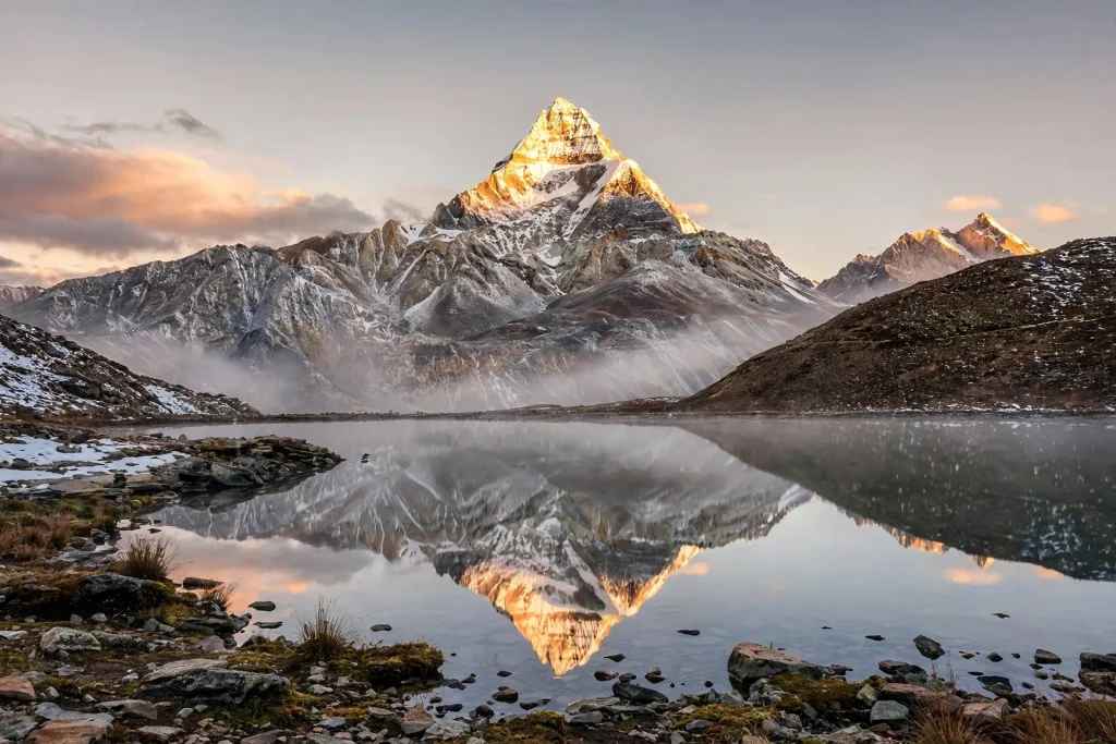
Adi Kailash earns its nickname honestly. It gives you a Kailash darshan, a sacred lake that mirrors the peak, and a mountain that carries the ॐ on its face, all without a passport, a foreign visa or a multi-day trek. What it asks in return is simpler and stricter: the right permit, a slow climb, a night at Gunji, and respect for a valley that sits on a sensitive border and closes every winter.
If that sounds like a journey you want to make, start with the permit, not the packing. Check the current rules with KMVN or the Pithoragarh district administration, pick the May–June or September–October window, and give yourself the buffer day. The mountain has waited for centuries. It will wait for you to arrive properly.
For the wider Char Dham picture that frames all of Uttarakhand’s great pilgrimages, start with our complete Char Dham guide: https://uttarakhand.tours/char-dham-yatra-uttarakhand-guide/
