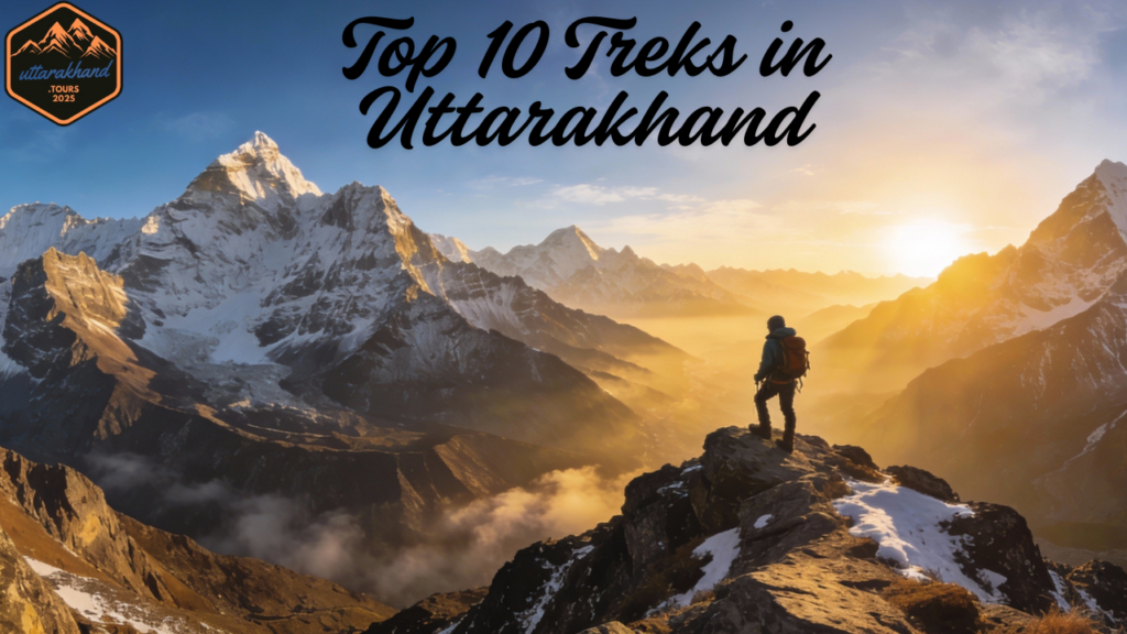
Table of Contents
Why Treks in Uttarakhand Are Essential for Serious Mountaineers Seeking Solitude and Challenge
When it comes to world-class high-altitude trekking that combines challenge, solitude, and raw Himalayan wilderness, few destinations globally rival the treks in Uttarakhand. This northern Indian state, cradled between the Garhwal and Kumaon Himalayan ranges, hosts some of Asia’s most dramatic peaks—including multiple 6,000–7,000+ meter summits—untamed glacial systems, and isolated alpine valleys that have historically served as pilgrimage routes and trade pathways.
For experienced mountaineers and veteran trekkers who have already conquered popular routes like Everest Base Camp, Inca Trail, or Kilimanjaro, the challenging, multi-day treks in Uttarakhand represent the next frontier: longer expeditions, higher passes, deeper solitude, and landscapes that feel genuinely removed from mainstream tourism circuits.
What Sets These Treks Apart
Unlike lower-altitude “trekking experiences” marketed to casual tourists, these routes demand:
- Multi-day commitment (5–16 consecutive days in the wilderness)
- High-altitude resilience (sustained exposure above 4,000–5,000 meters)
- Self-reliance and technical competence (comfortable with crampons, rope work, glacier navigation, and basic mountaineering)
- Psychological fortitude (dealing with isolation, unpredictable weather, and altitude-related challenges)
This comprehensive guide examines the top 10 most challenging, visually stunning, and solitude-focused treks in Uttarakhand, ranked by difficulty, uniqueness, and suitability for experienced trekkers seeking their next major Himalayan adventure.
Quick Reference: The 10 Most Demanding Treks in Uttarakhand—Difficulty, Duration & Highlights at a Glance
| Rank | Trek Name | Geographic Region | Duration (Days) | Difficulty Rating | Summit Altitude | Best Season Window | Unique Value Proposition |
|---|---|---|---|---|---|---|---|
| 1 | Bali Pass Trek | Govind Pashu Vihar, Garhwal | 7–8 | Difficult | 4,900 m | May–June, Sep–Oct | Wild high pass with dramatic waterfall approaches |
| 2 | Rupin Pass Trek | Uttarakhand–Himachal Border | 7–8 | Difficult | 4,650 m | May–June, Sep–Oct | Aesthetic multi-state traverse with cascading falls |
| 3 | Kalindi Khal Trek | Gangotri–Badrinath Corridor | 12–16 | Very Difficult / Expedition | 5,950 m | Mid-June–July | Highest glacier crossing, unmatched peak proximity |
| 4 | Nanda Devi East Base Camp | Kumaon Johar Valley | 9–12 | Difficult | 4,100 m | May–June, Sep–Oct | Historic trade route, unparalleled solitude |
| 5 | Satopanth Tal Trek | Badrinath Wilderness | 6–7 | Moderate–Difficult | 4,600 m | May–June, Sep–Oct | Sacred glacial lake, mythological resonance |
| 6 | Auden’s Col Trek | Rudugaira–Bhilangana Corridor | 10–14 | Very Difficult / Technical | 5,490 m | May–June, Sep | Legendary high pass, minimal foot traffic |
| 7 | Panpatia Col Trek | Badrinath–Kedarnath Traverse | 10–12 | Very Difficult | 5,200 m | Late May–June, Sep | Mythic “Mahapanth” route, extreme remoteness |
| 8 | Khatling Glacier Trek | Bhilangana Valley Basin | 8–10 | Difficult | 4,500–5,000 m | May–June, Sep–Oct | Vast glacier basin, multiple alpine lake variants |
| 9 | Kuari Pass–Pangarchulla Summit Circuit | Joshimath Region | 6–7 | Moderate–Difficult | 4,500 m | Mar–Apr, Oct–Nov | Best panoramic views of eastern Garhwal peaks |
| 10 | Har Ki Dun–Borasu Pass Extension | Govind Pashu Vihar–Kinnaur Border | 8–9 | Difficult | 5,350 m | May–June, Sep–Oct | Mythical valley to high pass gateway |
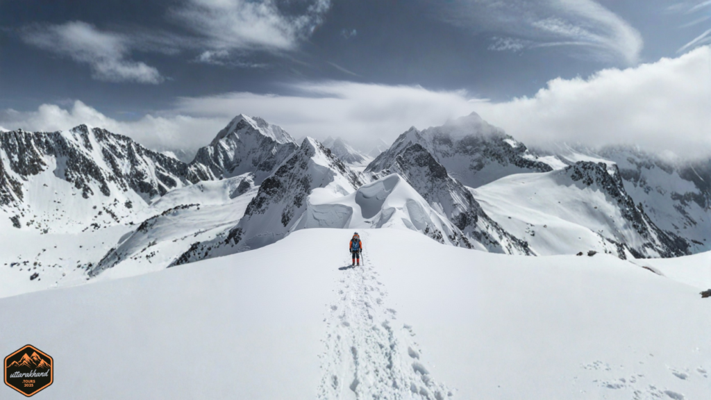
1. Bali Pass Trek – India’s Most Underrated Wild High-Altitude Crossing
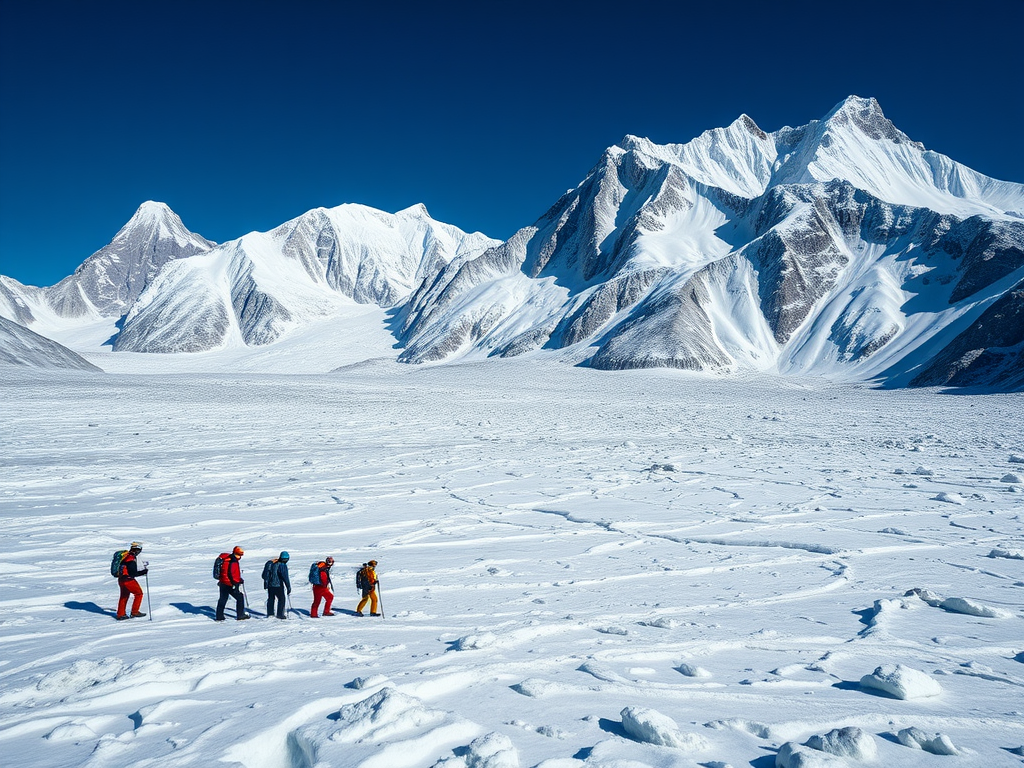
The Bali Pass trek represents the quintessential “hidden gem” among challenging treks in Uttarakhand. Unlike the heavily visited Kedarkantha or standard Chopta routes, Bali Pass is substantially more demanding, offers dramatically fewer trekkers, and delivers uncompromising Himalayan solitude alongside genuine technical challenge.
This 7–8 day expedition connects the lush Ruinsara valley (accessible via Har Ki Dun) with the sacred Yamunotri valley. The route ascends from around 2,400 meters (at Sankri village) to 4,900 meters at the pass, gaining nearly 2,500 meters of elevation while crossing into a different valley system—a classic high-altitude traverse that tests both fitness and mental resilience.
Distinctive Features & Why Experienced Trekkers Prefer This Route
Bali Pass stands apart for several reasons:
1. Varied Terrain Progression
Rather than monotonous ridge walksin treks in Uttarakhand, the route offers:
- Dense Himalayan oak and pine forests (first 2–3 days)
- Traditional stone-built villages with minimal tourism infrastructure (Osla, Seema)
- Alpine meadows and wildflower zones (May–June)
- High-altitude lakes and moraines near Ruinsara Tal
- Stark, rocky high-mountain terrain near the pass itself
2. Technical Challenge Without Mountaineering
- The summit day involves a steep scree and mixed rock ascent in the pre-dawn hours
- The final approach to Bali Pass often involves snow gullies requiring careful footwork and sometimes rope assistance
- Ridge sections near the pass have genuine exposure, with 500m+ drop-offs on certain stretches
3. Psychological Isolation
Once you pass Ruinsara Tal camp, settlements disappear. The last 2–3 days are genuinely wilderness camping—no villages, no escape routes, no casual day-trippers.
4. Peak Visibility Masterclass
- Swargarohini (6,252 m): The dominant peak
- Bandarpunch group: Multiple summits
- Kala Nag (5,577 m): Striking black rock pyramid
Detailed Itinerary Breakdown for treks in Uttarakhand
Day 1–2: Sankri to Osla (2,600–2,900 m)
- Start from Sankri village (road access from Mussoorie)
- Trek through dense forest and traditional settlements
- Camp near Osla
Day 3: Osla to Seema (3,200 m)
- Steeper forest trek
- Seema represents the last “real” settlement
Day 4–5: Seema to Ruinsara Tal (3,800–4,000 m)
- Leave forest behind and enter high alpine meadows
- Ruinsara Tal: pristine glacial lake set in a barren cirque
Day 6: Ruinsara Tal to Bali Pass Base Camp (4,600 m)
- Final approach camp on scree or moraine
Day 7: Summit Day – Bali Pass (4,900 m) to Descent Camp (4,300 m)
- Alpine start (3:00–4:00 AM departure)
- 2–3 hour steep ascent through scree and possibly snow
- Summit typically reached by 7:00–8:00 AM
Day 8: Descent to Yamunotri Temple or Hanuman Chatti (2,400–2,700 m)
- Long descent, exiting the wilderness
Difficulty Assessment & Seasonal Windows
Difficulty Grade: Difficult
Best Seasons:
- Pre-Monsoon (May–June): Heavy snow creates dramatic landscape
- Post-Monsoon (September–October): Stable weather, excellent visibility
Get detailled information about this trek.
2. Rupin Pass Trek – The Aesthetic Multi-State High Pass for Waterfall Lovers
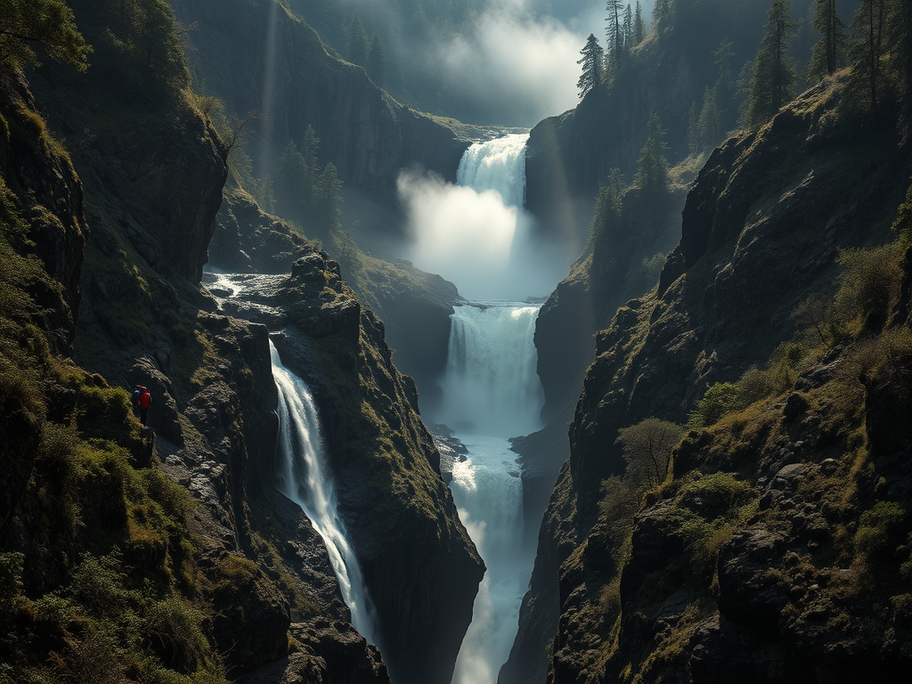
If Bali Pass appeals to minimalist mountaineers, Rupin Pass appeals to landscape photographers and romantic adventurers. The trek traces an ancient trade route between Uttarakhand and Himachal Pradesh, featuring some of the Himalayas’ most photogenic waterfall sequences. This is also a great option for treks in Uttarakhand. Get detailled information about this trek.
Distinctive Landscape Phases
1. Lower Rupin Gorge (Days 1–3)
- Dense deodar and oak forests
- Multiple tiered waterfalls (cumulative height ~300+ meters)
- The famous Rupin waterfall sequence
- Gorge sections with exposure-filled scrambling
2. Mid-Rupin Valley (Days 3–5)
- Transition from gorge to open alpine meadows
- Hanging glaciers visible on valley walls
- Villages like Jiskun and Kinnaur Bhabbar
3. Upper Rupin Basin (Days 5–7)
- Amphitheatre-like cirque
- Terrain becomes increasingly technical: boulder fields, snow sections, mixed rock-and-ice
Difficulty, Duration & Seasonal Windows for treks in Uttarakhand
Difficulty Grade: Difficult
Duration: 7–8 days
Best Seasons:
- May–June: Snow-filled approach, dramatic visuals
- September–early October: Stable weather, excellent water flow
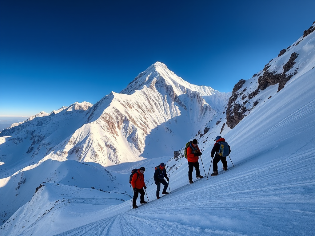
3. Kalindi Khal Trek – The Crown Jewel Expedition for Hardcore High-Altitude Mountaineers
If there is a single route that separates recreational trekking from true mountaineering expeditions, it is Kalindi Khal. This 12–16 day traverse links Gangotri (in the north) to Badrinath (in the south), staying continuously above 4,500 meters while crossing multiple glaciers, passes, and high-altitude basins.
Unmatched Peak Scenery
The primary value of Kalindi Khal lies in the unparalleled peak proximity and visual drama:
- Shivling (6,543 m): The iconic 6,000m+ peak with a blade-like summit profile
- Bhagirathi Massif (6,512 m + subsidiary peaks): Multi-summit complex with dramatic north faces
- Satopanth (7,038 m): A holy mountain with massive south-facing walls
- Chandra Parbat (6,734 m): Often missed by casual trekkers
- Vasuki Parbat (6,792 m): A striking pyramid
- Kamet (7,756 m): India’s second-highest peak
Physiological & Psychological Demands
Kalindi Khal is difficult not primarily because of technical climbing but because of:
1. Sustained Altitude Stress
- You spend 8+ consecutive days above 4,500 meters
- Sleeping altitude is constantly 4,600–5,200 meters
2. Isolation & Self-Reliance
- Once on the glacier, there is no escape except forward
- No villages, no settlements
3. Routine Physical Stress
- Crampons for 6–8 hours on 3–4 consecutive days
- Continuous moraine boulder-hopping
Selection Criteria
- Minimum prior altitude experience: Successfully summited peaks like Elbrus (5,642m), Kilimanjaro (5,895m), or Aconcagua (6,961m)
- Glacial experience: Minimum 4–5 days on glaciated terrain
- Sustained fitness: Able to walk 6–8 hours at high altitude for consecutive days
- Psychological resilience: Comfortable with discomfort and isolation
Best Season & Success Rates
Pre-Monsoon: ~40–50% summit success rate
Post-Monsoon: ~65–75% summit success rate
4. Nanda Devi East Base Camp – Into India’s Most Sacred Mountaineering Zone
Nanda Devi (7,816 m)—India’s second-highest peak and the highest peak located entirely within Indian borders—is mythologically sacred to Hindu pilgrims and legendary among mountaineers.
The Nanda Devi East Base Camp route via the Johar Valley remains open, offering experienced trekkers close-range views of Nanda Devi East (7,434 m) and access to historically important valleys. This is also a great option for treks in Uttarakhand.
The Johar Valley: Cultural Richness & Mountaineering History
The Johar Valley was historically one of the most economically important Himalayan valleys, with regular yak caravans transporting salt, spices, and goods between the Indian plains and Tibet.
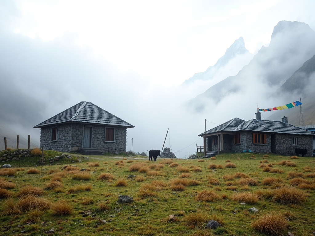
Key villages on the route:
- Munsiyari (2,200 m): Gateway village
- Lilam (3,000 m): Ancient settlement
- Bogudyar (3,400 m): High-altitude grazing area
- Martoli (3,500 m): Sacred temple
- Milam (3,700 m): Historic trade-route hub
Trek Profile
Duration: 9–12 days
Difficulty: Difficult
Max altitude: Around 4,000–4,100 m
Best season: May–June & Sep–Oct
5. Satopanth Tal Trek – Sacred High Altitude Lake Trekking
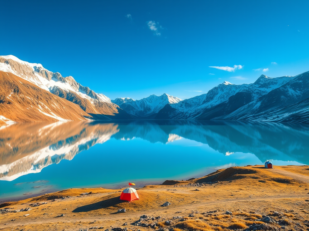
Satopanth Tal sits at approximately 4,600 meters in the Badrinath wilderness, forming a perfect triangular glacial basin surrounded by some of the most dramatic peaks in the Garhwal Himalayas.
In Hindu mythology, Satopanth is associated with the Pandavas’ final journey to heaven, making it a sacred site alongside its stunning natural attributes.
Trek Route & Accessibility
Starting Point: Badrinath temple town (3,200 m)
Days 1–2: Badrinath to Chakratirtha to Laxmi Van Base
- Forest trek through rhododendron and birch forests
- Chakratirtha: sacred site with a small shrine
Days 3–4: Laxmi Van to Satopanth Tal
- Push to the lake at 4,600 m
- Final approach involves steep meadow trekking and moraine navigation
Days 5–6: Satopanth Tal Exploration & Return
- High-altitude camping on the lake’s edge
- Optional: peak attempts on surrounding summits
Trek Profile
Difficulty: Moderate–Difficult
Duration: 6–7 days
Best Season: May–June & Sep–October
6. Auden’s Col Trek – For Mountaineers Who Want “Next Level” Challenge
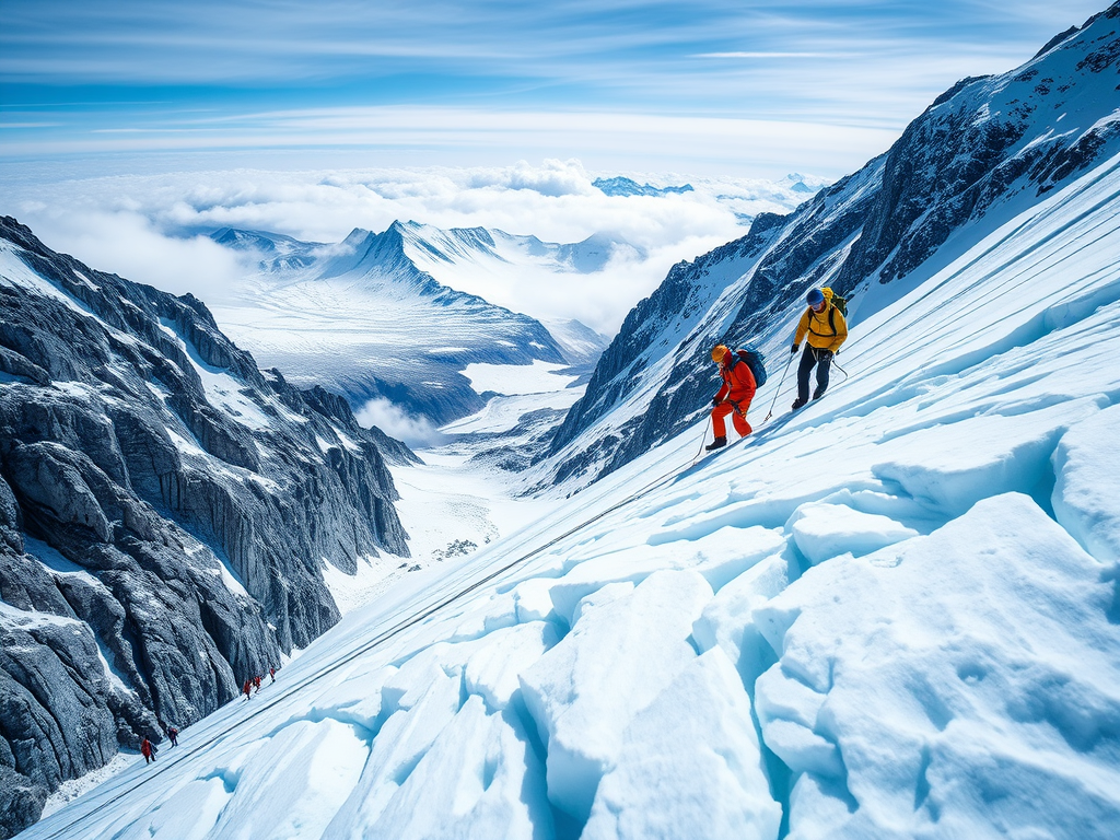
If Kalindi Khal is the “highest,” Auden’s Col is arguably the most technically demanding among non-mountaineering routes in Uttarakhand.
Route Overview & Logistical Challenge
Duration: 10–14 days
Route Structure:
Days 1–4: Approach to Rudugaira Valley Base
- Trek to glacier approach areas
- Multiple acclimatization camps
Days 5–8: Glacier Navigation & Complex Terrain
- Traverse multiple glacier systems
- Camp on moraine and snow
- Daily glacier navigation for 4+ hours each day
Days 9–10: Auden’s Col Summit & Crossing
- Final push to col at 5,490 m
- Cross over into Bhilangana drainage
Days 11–14: Descent to Roadhead
- Exit via Bhilangana valley
Physical & Psychological Profile
Required Experience:
- Successfully completed Kalindi Khal or equivalent 12+ day high-altitude expedition
- Comfortable with roped glacier travel and crevasse rescue scenarios
- Physically fit for 8–10 hour days at altitude on consecutive days
7. Panpatia Col Trek – The Mythical Traverse for True Adventurers
Panpatia Col represents one of the least commercialized, most extreme “trekking” routes in Uttarakhand. Local legend speaks of an ancient “Mahapanth” (great path) connecting Badrinath and Kedarnath across high mountain territory. This is also a great option for treks in Uttarakhand.
What Makes Panpatia Col Extreme
Distinctive Difficulty Factors:
1. Route-Finding Complexity
- Unlike marked, well-trodden paths, sections require constant navigation decision-making
2. Extreme Remoteness
- No villages or resupply options for 7+ consecutive days
- Helicopter evacuation is technically possible but logistically complex
3. Glacier Traversal Under Uncertainty
- Route variations exist based on snow accumulation, avalanche activity, and moraine stability
4. Psychological Isolation
- You’re unlikely to encounter other trekking groups
Trek Profile
Duration: 10–12 days
Difficulty: Very Difficult
Best season: Limited, often late May–June & Sep
8. Khatling Glacier Trek – Into a Vast Glaciated Basin
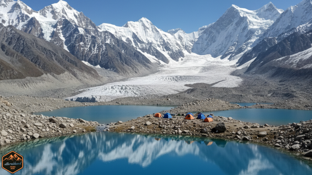
The Khatling Glacier sits in the Bhilangana valley, representing one of Garhwal’s largest remaining glacier systems. This is also a great option for treks in Uttarakhand.
Route Variants & Flexibility
Variant 1: Direct Glacier Approach (8–10 days)
- Trek to Khatling Glacier base
- Explore glacier basin and surrounding lakes
Variant 2: Masar Tal High Pass (9–11 days)
- Incorporate Masar Tal (pristine glacial lake)
- Cross a secondary pass
Variant 3: Mayali Pass Extension (10–12 days)
- Continue toward Mayali Pass (~5,000 m)
Trek Profile & Attractions
Difficulty: Difficult
Duration: 8–10 days
Best Season: May–June & Sep–October
9. Kuari Pass–Pangarchulla Peak Circuit – East Garhwal’s Best Panoramic Views
While often marketed as “moderate,” the Kuari Pass–Pangarchulla Peak combination becomes a genuinely challenging trek when you add the Pangarchulla summit component. Get detailled information about this trek.
Route Overview
Duration: 6–7 days
Day 1–2: Joshimath to Auli to Base Camps
- Trek through rhododendron forests (May–June)
- Acclimatize at meadow camps
Day 3–4: Kuari Pass Approach & Summit
- Trek to Kuari Pass at 4,300 meters
- Ridge walk with 360-degree views
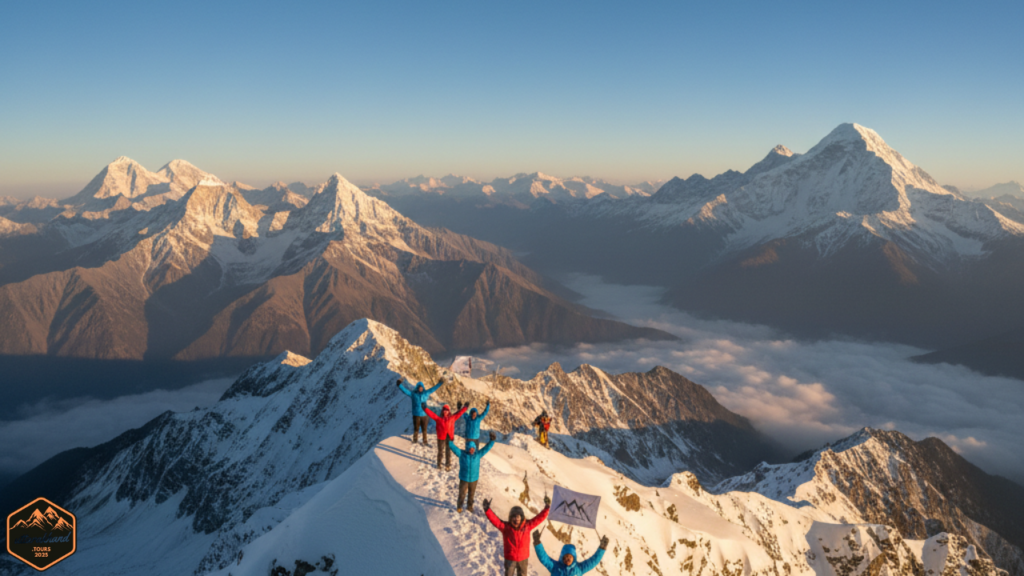
Primary Panorama from Kuari:
- Nanda Devi: Iconic twin peaks
- Dronagiri: Striking 6,000m+ summit
- Hathi–Ghauri Parbat: Twin peaks
- Kamet: India’s 8th highest peak
- Pancholi: Pyramidal summit
Day 5–6: Pangarchulla Summit Day & Descent
- Final 300m ascent is steep and often snow-covered
- Crampons required
- Summit ridge has significant exposure
10. Har Ki Dun–Borasu Pass Extension – Mythical Valley to High Alpine Gateway

Har Ki Dun (literally “Valley of Gods”) is historically significant but often maligned as “too crowded.” The truth is more nuanced: extending the route to Borasu Pass transforms it into a legitimate high-altitude expedition.
Har Ki Dun Valley: The Cultural Foundation
Har Ki Dun Valley sits at approximately 3,600 meters, surrounded by Swargarohini (6,252 m) and other peaks.
Key villages in the valley:
- Osla (2,900 m): Traditional settlement
- Gangad (3,200 m): Historic settlement
- Har Ki Dun meadow (3,600 m): Central gathering area
Borasu Pass Extension: The Elevation to True Challenge
Beyond Har Ki Dun lies the Borasu Pass at approximately 5,350 meters—a significant alpine pass that offers stunning views and creates a true mountain crossing.
Detailed Itinerary
Days 1–3: Govind Pashu Vihar Base to Har Ki Dun Valley
- Trek from Sankri approach
- Acclimatize for full day
Days 4–5: Har Ki Dun Exploration
- Explore the valley
- Cultural engagement with shepherds
Day 6: Har Ki Dun to Borasu Pass Base Camp
- Begin push toward higher altitude
- Camp at 4,800–5,000 m
Day 7: Borasu Pass Summit Day
- Early morning start (3:00–4:00 AM)
- 2–3 hour steep ascent
- Swift descent into Himachal Pradesh
Days 8–9: Descent to Himachal & Exit
- Long descent to lower elevations
- Road access to Kinnaur region
Trek Profile
Difficulty: Difficult
Duration: 8–9 days
Best Season: May–June & Sep–October
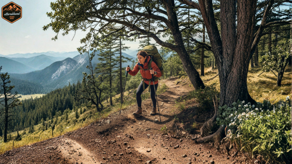
Comprehensive Preparation Framework for Multi-Day High-Altitude treks in Uttarakhand
Phase 1: Base Fitness Building (Months 1–2)
- Cardiovascular training: Running or cycling 4–5 days/week, 40–60 minutes per session
- Strength training: Squats, lunges, step-ups, core work 2–3 days/week
- Flexibility work: Yoga or stretching 3–4 days/week
Phase 2: High-Intensity Interval Training (Month 2–3)
- Hill repeats (running/hiking uphill for 3–5 minutes, recover 2 minutes, repeat 4–6 times)
- Stair climbing with weighted backpack (start 5 kg, increase to 8–10 kg)
- Sustained uphill trekking with elevation gain (500m+ per session)
Phase 3: High-Altitude Simulation (Month 4–6)
- Multi-day trekking trips with loaded backpacks (8–12 kg)
- Extended days (6–8 hours of continuous uphill trekking)
- Sleep in mountain environments
Essential Gear Checklist for treks in Uttarakhand.
Footwear & Lower Body Protection
- High-ankle trekking boots: Merrell, Salomon, or equivalent
- Gaiters: Protect boots and legs
- Moisture-wicking socks: Merino wool or synthetic
- Crampons: For treks with significant snow
Upper Body & Core
- Base layer: Synthetic or merino wool
- Mid-layer fleece: 200–300g weight
- Outer shell jacket: Waterproof, breathable
- Down jacket: For high-altitude camps
Head & Extremities
- Sun hat or cap
- Wool or synthetic hat
- Neck gaiter or balaclava
- Gloves: Lightweight + insulated
- Sunglasses: Alpine quality
Sleep System
- Sleeping bag: Temperature rating must match expected lows
- Satopanth, Bali Pass (-5°C to -10°C): -10°C rated or lower
- Kalindi Khal (-15°C to -20°C): -20°C rated minimum
- Sleeping pad: Closed-cell foam or inflatable (R-value ≥3.5)
Hydration & Nutrition
- Water carrying: 2–3 liter capacity
- High-calorie foods: Trail mix, energy bars, nut butters, chocolate
- Electrolyte supplements
Navigation & Safety
- Map and compass
- Headlamp or flashlight
- First-aid kit: Including altitude sickness medications
- Satellite communicator: For remote routes
Altitude Acclimatization Protocol for treks in Uttarakhand.
General Acclimatization Principle: Ascend to higher altitude during the day; sleep at lower altitude at night.
For Bali Pass / Rupin Pass (max ~4,900m):
- Spend 1 night at 3,000m (base village)
- 1 night at 3,500m
- 1 night at 4,000m
- 1 night at 4,400m+
- Attempt summit day from 4,600m camp
For Satopanth / Khatling (max ~4,600m):
- Similar profile; 4–5 acclimatization nights
For Kalindi Khal (max ~5,950m):
- Mandatory 2–3 days below 4,500m at trek start
- Spend 2–3 nights at 4,300–4,500m
- Spend 2–3 nights at 4,800–5,100m
- Only then push toward 5,950m
Red Flags Indicating Altitude Sickness:
- Persistent headache unresponsive to ibuprofen
- Nausea or vomiting
- Dizziness or loss of balance
- Extreme fatigue out of proportion to physical exertion
Action if Altitude Sickness Develops:
- Descend immediately (drop 300–500m minimum)
- Oxygen supplementation (if available)
- Full rest day at stable altitude
- Consider evacuation if symptoms persist
Choosing Your treks in Uttarakhand: A Decision Matrix
| Your Profile | Best Trek Match | Why |
|---|---|---|
| Limited time (5–7 days); high fitness | Kuari–Pangarchulla or Satopanth Tal | Quick elevation gain, manageable duration, premium views |
| 1st serious high-altitude trek; 3,500–4,000m experience | Bali Pass or Rupin Pass | Challenging but accessible; established routes |
| 2–3 prior Himalayan treks; ready for next step | Nanda Devi East BC or Khatling Glacier | Longer, more remote, authentic expedition feel |
| Kalindi Khal or Everest-level previous experience | Kalindi Khal, Auden’s Col, Panpatia Col | Extreme altitude, technical challenge, minimal crowds |
| Seeking pure solitude above all else | Panpatia Col or remote Nanda Devi variants | Fewest commercial groups, most “exploration” feel |
| Want high-altitude experience + cultural immersion | Har Ki Dun–Borasu or Nanda Devi East BC | Blend of human history and mountain challenge |
Seasonal Planning Guide: Timing Your Uttarakhand Trek
Pre-Monsoon Season (April–June): Snow, Drama, and Short Windows
Characteristics:
- Heavy snow on all high passes
- Dramatic landscape aesthetics
- Shorter seasonal window (passes often snow-bound after June 30)
- Fewer trekkers
- Avalanche risk requires extra caution
Best Treks for Pre-Monsoon:
- Bali Pass
- Rupin Pass
- Kuari–Pangarchulla
- Kalindi Khal (narrow window mid-June to July 10)
Post-Monsoon Season (September–October): Stability, Clarity, Crowds for treks in Uttarakhand
Characteristics:
- Stable weather: Dry, predictable conditions
- Crystal-clear visibility: Exceptional photograph conditions
- Longer seasonal window (typically September 15 – November 10)
- More trekking groups
- Snow is consolidated and safer
Best Treks for Post-Monsoon:
- All 10 listed treks are feasible
- Nanda Devi East BC (clearest views, safest logistics)
- Khatling Glacier (stable conditions, minimal avalanche risk)
- Har Ki Dun–Borasu (post-monsoon grass is green)
Final Reflection: Your Journey Into Uttarakhand’s Highest Wilderness
The top 10 treks in Uttarakhand represent a spectrum of high-altitude mountaineering experiences, from the challenging-but-accessible Bali Pass and Rupin Pass to the extreme, expedition-grade routes like Kalindi Khal, Auden’s Col, and Panpatia Col.
Key Takeaways for Decision-Making
- Match Trek to Experience: Build progressively through Bali → Kuari–Pangarchulla → Khatling → then Kalindi
- Season is Critical: Post-monsoon (Sep–Oct) offers better success rates and longer windows
- Acclimatization is Non-Negotiable: Altitude sickness can strike fit trekkers; prioritize sleep at lower altitude, ample rest days, and honest assessment of symptoms
- Operator Selection Matters: On extreme routes, guide expertise directly correlates with safety and success
- Solitude is Real: Many Uttarakhand routes see fewer than 100 trekking groups per year, delivering genuine wilderness immersion
Final Reflection
The treks in Uttarakhand have transformed mountaineers for over a century—from early Himalayan explorers to modern-day adventurers seeking solitude and personal transformation. Whether you choose the aesthetic drama of Rupin Pass, the spiritual resonance of Nanda Devi East, the extreme challenge of Kalindi Khal, or the cultural richness of Har Ki Dun–Borasu, these routes promise more than mere elevation gain.
They promise engagement with wilderness that most modern humans never experience—nights under stars with zero light pollution, days spent on glaciers with only mountains for company, and the profound sense of achievement from moving through high mountains under your own power, over many consecutive days.

Pingback: Best Trekking Routes in Uttarakhand: Your Ultimate 2026 Guide » UTTARAKHAND