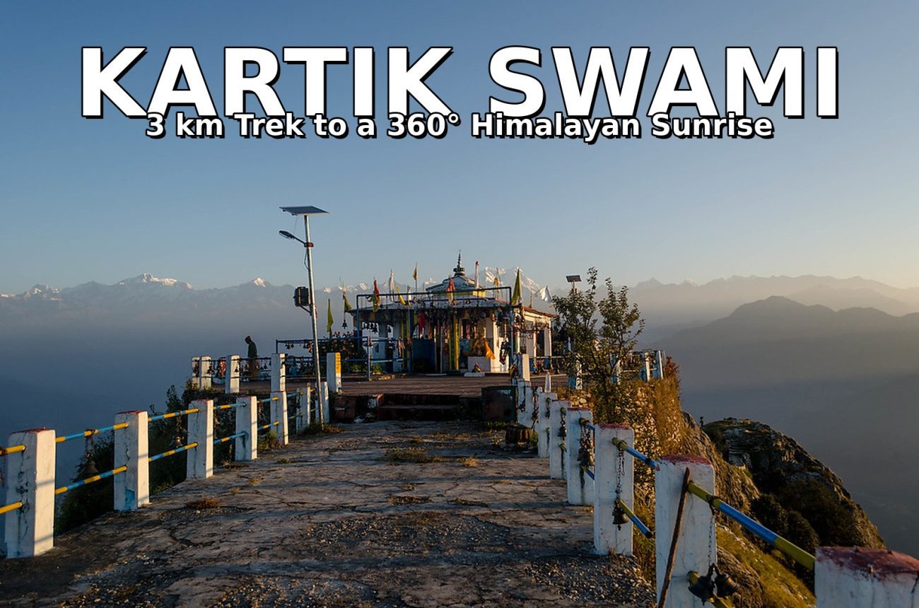
Some sunrises you watch. Others you climb for. Kartik Swami is firmly in the second category.
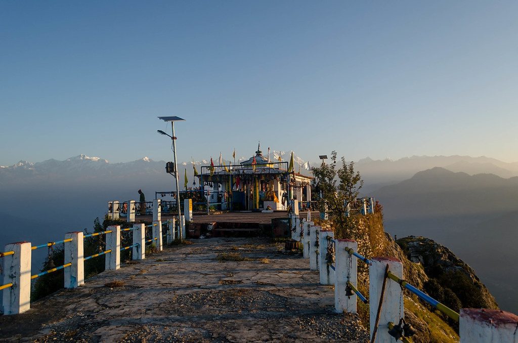
Long before dawn, in the dark of a small Garhwali village called Kanakchauri, trekkers switch on their headlamps and start walking uphill through oak and rhododendron forest. About three kilometres later, they step out onto a narrow, wind-scoured ridge at roughly 3,050 metres — and the whole Garhwal Himalaya opens up in front of them. First the peaks show as grey shapes. Then, as the sun reaches them, they turn pink, then gold, then white: Chaukhamba with its four summits, the Kedarnath group, Neelkanth, Trishul, and on the clearest mornings, even the tip of Nanda Devi far to the east.
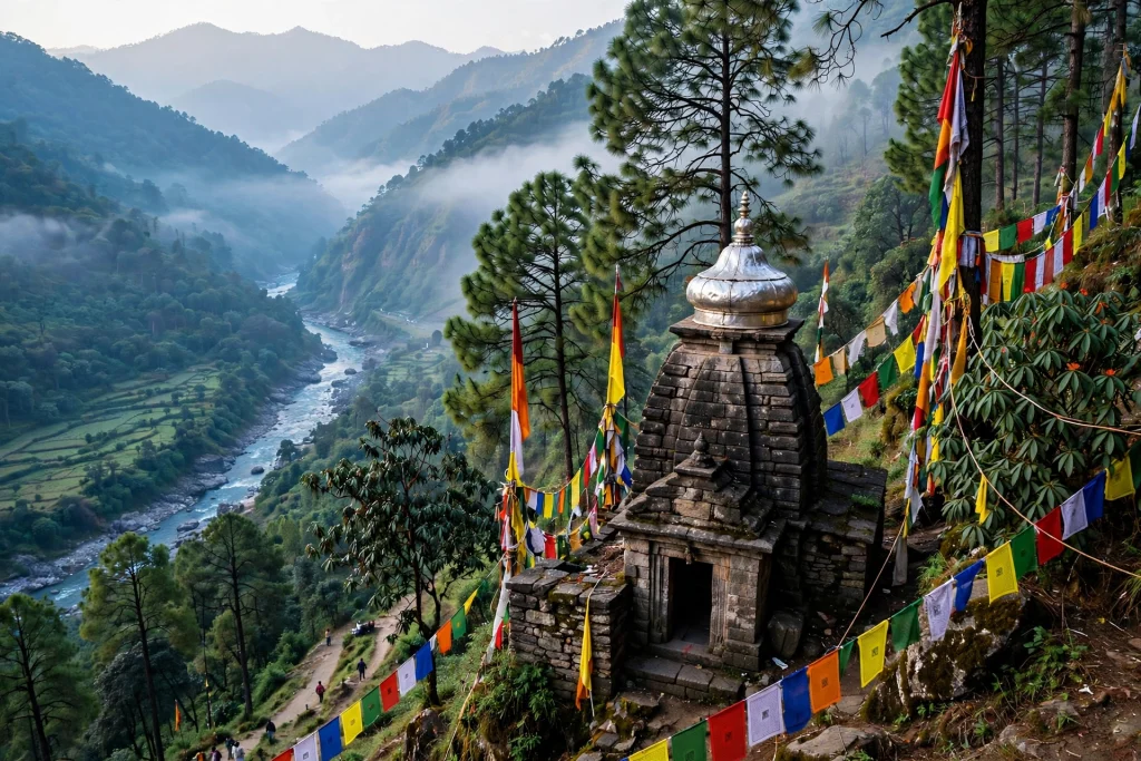
And standing alone on that ridge, almost at the edge of the sky, is a small stone temple with one of the strangest and most moving stories in the Himalayas. Kartik Swami is widely described as the only temple in Uttarakhand dedicated solely to Lord Kartikeya — the elder son of Shiva and Parvati, worshipped across South India as Murugan, Skanda or Subramanya, but rarely enshrined anywhere in the north. According to local tradition, this is where Kartikeya offered his own bones to his father. The deity here is not a conventional idol at all, but a natural stone formation believed to be those very bones.
It is a short trek, an easy-to-moderate one, and it asks for just one thing in return: an early alarm.
Kartik Swami Temple at a Glance
- Location: Ridge above Kanakchauri village, Rudraprayag district, Uttarakhand
- Altitude: About 3,048–3,050 metres (roughly 10,000 ft), atop Kronch Parvat
- Dedicated to: Lord Kartikeya (Kartik Swami), elder son of Lord Shiva and Goddess Parvati
- Trek: About 3 km one way from Kanakchauri (some guides say 3.5 km), 1.5–2.5 hours uphill
- Final stretch: Around 380 stone steps up the open ridge
- Difficulty: Easy to moderate — suitable for beginners and families
- Nearest town: Rudraprayag, about 40 km away on the Pokhari road
- Best time: October to June; September to November for the clearest views
- Entry: No special permit needed; most guides say entry is free
Why Visit Kartik Swami?
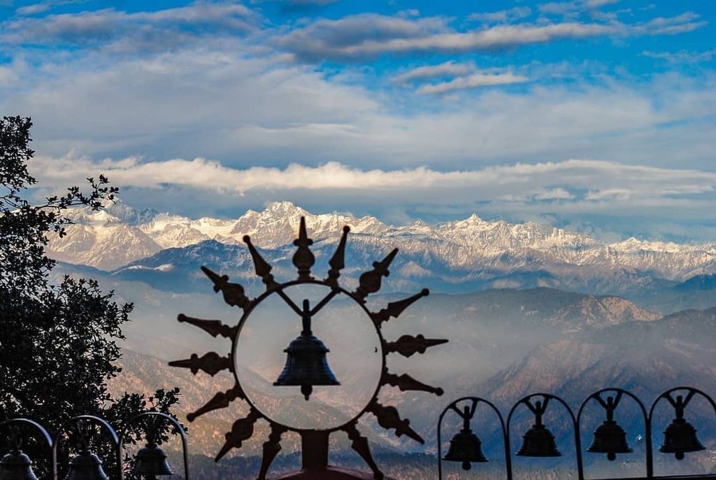
The sunrise. This is the main reason most people make the climb, and it is not an exaggeration. The ridge gives a near 360-degree panorama of the Garhwal Himalaya, and the first half hour of light is the best of it — the peaks shift from grey to pink to white as the sun climbs. Trekkers who have done both often say the Kartik Swami sunrise rivals the far more famous one from Chandrashila, with a fraction of the crowd.
The story. Few temples in Uttarakhand have a legend quite like this one. Kartik Swami is not a shrine to a victorious god, but to a god who gave everything up. That makes the atmosphere here different from the big pilgrimage temples — quieter, more reflective, and strangely moving even if you arrive as a trekker rather than a devotee.
The short, rewarding trek. At about three kilometres, this is one of the shortest proper Himalayan treks in Uttarakhand, and it still delivers a genuine 3,000-metre summit, a forest walk, and a ridge-top temple. It is an ideal first trek for families and beginners, and an easy add-on to a Chopta–Tungnath trip.
It stays open in winter. Unlike the Char Dham shrines — Kedarnath, Badrinath, Gangotri and Yamunotri all close for winter and reopen in April–May — Kartik Swami has no official closing season. Snow can cover the ridge and make the steps icy from December to February, so winter visits need preparation and a local check, but the temple itself does not shut. If you are in the Garhwal hills in the cold months and want a real Himalayan sunrise, this is one of the few places that can still give it to you. For the full picture of the Char Dham season, see our Char Dham Yatra guide.
The quiet. Kanakchauri is a small village, not a tourist town. There are no crowds jostling for selfies at the top, no rows of shops, and long stretches of the trail where the only sounds are birdsong and your own footsteps. Come on a weekday outside festival season and you may have the ridge almost to yourself.
The Legend: The God Who Offered His Bones
The story of Kartik Swami is told in villages all around Rudraprayag, and it begins with a contest between two brothers.
Lord Shiva and Goddess Parvati, so the tale goes, set their sons — Ganesha and Kartikeya — a challenge: whoever could circle the universe first would be declared the wiser and worshipped first among all deities. Kartikeya, the warrior god, did the literal thing. He mounted his peacock and set off to physically travel the cosmos. Ganesha, choosing wisdom over endurance, simply circled his parents, declaring that the creators of the universe were the universe itself. When Kartikeya returned from his long journey and found that his younger brother had already won, he was overcome with anger and humiliation.
Rather than return to Mount Kailash to face his family, Kartikeya withdrew to Kronch Parvat — the very ridge the temple now crowns. And there, in a final act of surrender and devotion, he offered his own flesh to his mother Parvati and his bones to his father Shiva. Local tradition holds that the temple was built on the exact spot where his bones are believed to have fallen, and the natural stone formation enshrined inside is believed to be those consecrated bones.
That is why Kartik Swami is so unusual. Across South India, Kartikeya — as Murugan or Skanda — is one of the most widely worshipped deities, with temples drawing millions. In the north, he is rarely enshrined at all. Multiple regional guides describe Kartik Swami as the only temple in Uttarakhand dedicated solely to him; Uttarakhand Tourism’s own listing is more careful, calling it one of the state’s most prominent Kartikeya shrines. Either way, it is a rare thing: a Himalayan temple to a god the north largely forgot, kept alive by the villages around it.
Devotees also tie bells at the shrine — the temple is hung with hundreds of them — and many believe that offering a bell here, especially around Kartik Purnima, can help a wish come true. Kartikeya is the ishta devta, or patron deity, of villages across this region, and the ridge fills with devotees on his festival days.
The Trek from Kanakchauri: Step by Step
The trek begins in Kanakchauri, a quiet village on the Rudraprayag–Pokhari road, about 40 km from Rudraprayag town. The trail starts right from the village, near the bus stand, and the whole walk is well marked.
The forest walk. The first part of the trail climbs steadily through oak and rhododendron forest. In spring, roughly March to April, the rhododendrons bloom, and the path is lined with red flowers. The climb is steady rather than steep here — a proper mountain walk, but one that most reasonably fit people can manage at a comfortable pace. Expect to gain roughly 700 metres or so over the course of the climb (sources differ slightly on the exact figure), so take it slowly and stop for water whenever you need to.
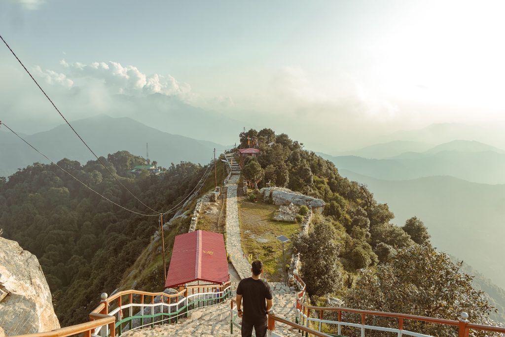
The ridge and the steps. As the trees thin out, the trail breaks onto the open ridge, and the final stretch is a flight of around 380 stone steps climbing straight up to the temple’s raised plateau. This is the steepest part of the walk, and also the most exposed — the ridge is narrow, the land falls away steeply on both sides, and the wind can be strong. On a clear morning, though, this is also where the panorama first opens up, and the steps are worth every bit of effort. There are a few small tea stalls and shops along the lower part of the trail, but there is no food or water on the ridge itself, so carry your own.
Sunrise, then darshan. If you are here for the sunrise, start from Kanakchauri at about 4:00–4:30 in the morning, by headlamp, so you reach the ridge before first light. There is no single officially published timetable for the temple, and timings shift with the season — but the priest generally opens the shrine after sunrise, so most visitors watch the sunrise first and have darshan afterwards. The temple is hung with hundreds of bells, and the sound of them in the wind, with the whole Himalaya spread out below, is something you do not forget quickly.
The way down. The descent back to Kanakchauri takes about 45 minutes to an hour. All in all, most people take three to four hours for the round trip, including time spent at the top. A ropeway from Kanakchauri to the temple has been proposed by the state, but until it is built and running, the forest trail is the only way up — which, honestly, is part of the charm.
Best Time to Visit Kartik Swami
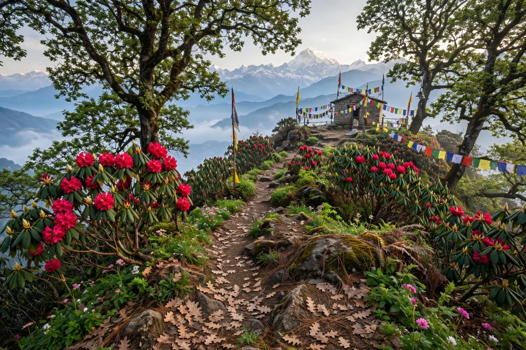
Uttarakhand Tourism recommends October to June, and most guides agree. Each season gives the ridge a different character:
- March to June: Pleasant days, rhododendron bloom in March–April, and clear mornings. From May, afternoon haze can build up, so sunrise is the view to aim for. June also brings the 11-day Kalash Yatra festival (see below).
- September to November: The clearest views of the year. After the monsoon has washed the air clean, the full arc of peaks — from Kedarnath to Trishul — stands out sharply. October and November are usually the best months of all for the sunrise.
- December to February: Snow can cover the ridge and the temple steps, and the steps can turn icy in the early morning. The air is crisp and clear, and the sunrise wait is the coldest of the year — but for prepared trekkers, winter here is beautiful and almost empty. Check conditions locally before you go, and carry microspikes or good-grip shoes if there has been snow.
- July to August: Best avoided. Monsoon rain makes the trail slippery, clouds hide the peaks, and landslides can disrupt the roads to Rudraprayag.
For more on what winter trekking in Uttarakhand is like, see our guide to the best winter treks in Uttarakhand.
What You See at Sunrise
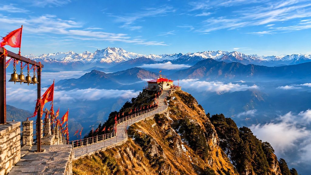
On a clear morning, the horizon from the Kartik Swami ridge carries, from west to east, roughly this line-up:
- The Kedarnath group — Kedarnath itself, Kedar Dome, Meru and Sumeru
- Chaukhamba — the great massif with its four summits, directly ahead
- Neelkanth — the peak that towers above Badrinath
- Dronagiri (Dunagiri) and Nanda Ghunti
- Trishul — the three-pronged peak, to the east
- Bandarpoonch — away to the west
- Nanda Devi — the tip of India’s second-highest mountain, visible only on the very clearest days
Below the peaks, the valleys of the Alaknanda and the Mandakini lie far below on either side of the ridge — the Mandakini to the west, the Alaknanda to the east. The two valleys, the terraced villages folded into them, and the wall of snow above make this one of the widest viewpoints in Garhwal.
A practical tip for photographers: the best images come in the first half hour of light. The peaks show as grey shapes first, then pink points as the sun reaches them, then white walls. After that, haze builds over the valleys. So get to the ridge early, find your spot, and be ready.
Festivals Worth Timing Your Trip Around
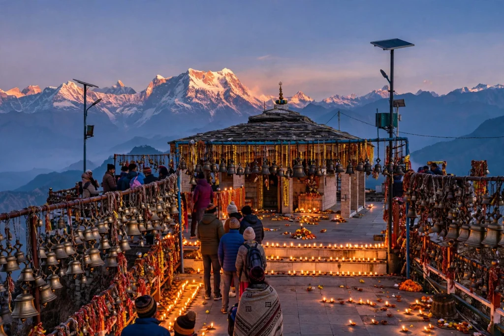
Kartik Purnima (October–November). The biggest day of the year at Kartik Swami. Falling on the full moon of the Hindu month of Kartik, it is believed to mark Lord Kartikeya’s birth anniversary. A large fair is held in Kanakchauri, devotees climb through the night, bells are offered at the shrine, and special havans and round-the-clock chanting animate the ridge. If you want atmosphere and devotion at full strength, this is the day — but expect crowds, and book your stay well in advance.
Kalash Yatra (June). An 11-day religious congregation in early summer, centred on a Mahayagya (grand fire sacrifice) and the chanting of the Shiv Mahapuran Katha. Village women carry sacred water vessels (kalash) up the mountain from local river confluences to bathe the deity, in a communal prayer for rain, agricultural abundance and regional well-being. The gathering closes with a Jal Kalash Yatra and Purnahuti.
How to Reach Kartik Swami
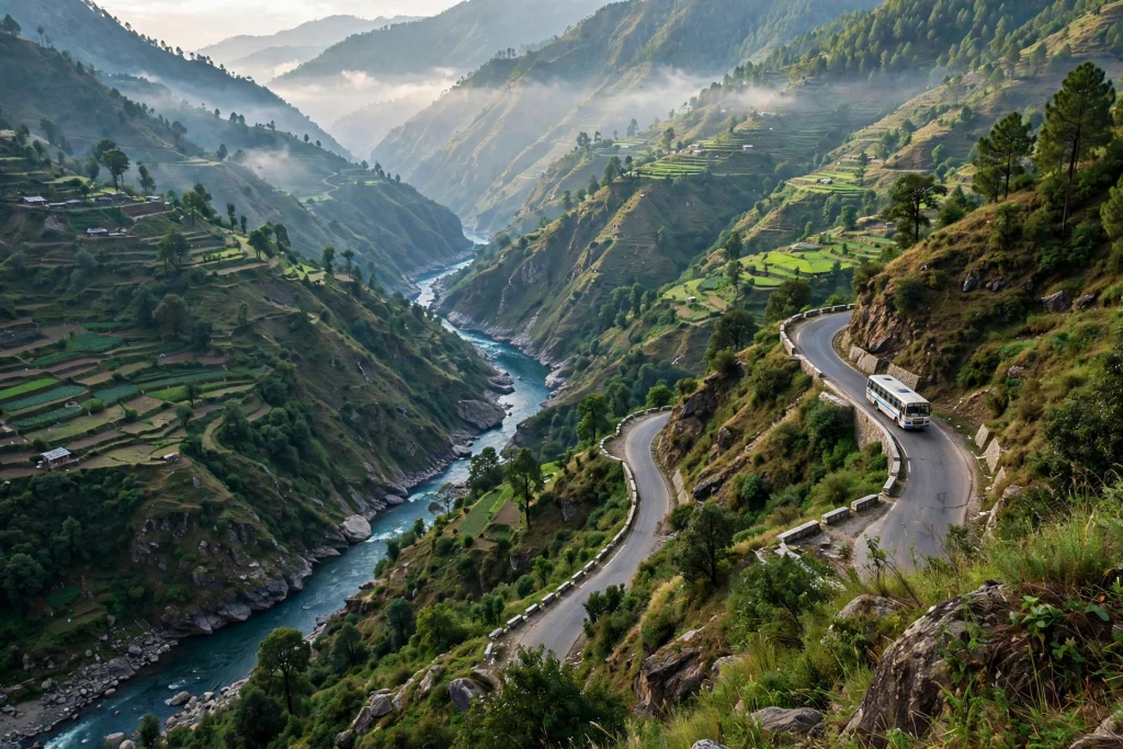
Kartik Swami is not reached by road — the road ends at Kanakchauri, and the last 3 km are on foot. The journey from the plains follows the Badrinath highway up the Ganga and Alaknanda valleys:
By road from Delhi: Delhi to Rishikesh is roughly 240–250 km, about 5–6 hours by road via Meerut, Muzaffarnagar, Roorkee and Haridwar. From Rishikesh, the route runs via Devprayag (where the Bhagirathi meets the Alaknanda to form the Ganga), Srinagar and Rudraprayag, then up the side road towards Pokhari to Kanakchauri. Rishikesh to Kanakchauri is about 175–180 km, roughly 6–7 hours of driving. Rudraprayag to Kanakchauri is the last leg — about 40 km, 1.5–2 hours on winding hill roads.
By train: The nearest railheads are Rishikesh (Yog Nagari Rishikesh) and Haridwar, both well connected to Delhi and the rest of India. From either station, continue by taxi or bus towards Rudraprayag.
By air: The nearest airport is Jolly Grant Airport, Dehradun. From there, travel by road via Rishikesh and Rudraprayag to Kanakchauri.
Local transport: Public transport to Kanakchauri is limited — shared jeeps run on the Rudraprayag–Pokhari road, but a taxi is the practical option for most visitors, especially if you need to reach the village the evening before a sunrise trek. Confirm timings locally, and if you are hiring a cab from Rishikesh, arrange the return as well, since finding transport back from a small village at short notice is not guaranteed.
Where to Stay and Eat
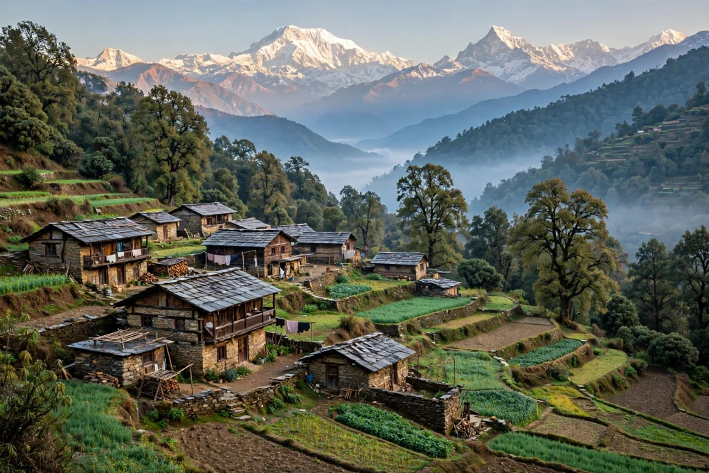
Stay in Kanakchauri itself if you possibly can — it is the best choice for a sunrise walk, since the trail starts right in the village and you can set off at 4 in the morning without a drive first. The village has simple homestays and guesthouses run by local families; they are basic but warm and welcoming, and staying with a local family is part of the experience. Some guides also mention a dharamshala a short walk below the temple. Tented camps sit on the Pokhari road a few kilometres from the village, and Rudraprayag town, about 40 km away, has a wider range of hotels if you arrive late or want more choice. During the peak months of May–June and October, and especially around Kartik Purnima and the Kalash Yatra, book in advance.
Food is simple, vegetarian hill fare. Small dhabas at the Kanakchauri trailhead serve aloo paratha, rajma-chawal, Maggi and endless glasses of chai — honest, filling food, though hours thin out in the off-season, so confirm on arrival. If you eat in a village home, ask for mandua ki roti (finger millet bread) with pahadi gahat dal — the traditional high-protein meal of these hills. There is nothing to eat on the ridge itself, so eat before you climb or after you come down, and carry water and snacks for the trail. Rudraprayag town has dependable vegetarian thali eateries along the highway. Carry enough cash: Kanakchauri is a small village and you should not count on finding an ATM there.
What to Pack and How Fit Do You Need to Be?
The trek is rated easy to moderate, and it is genuinely suitable for beginners and families — but “easy” in the Himalayas still means a real climb at 3,000 metres, so do not treat it casually.
Pack: Warm layers (the ridge is cold and windy even in summer, and the pre-dawn wait is the coldest part of the day), a headlamp or torch for the dark start, at least a litre of water per person, snacks, good-grip walking shoes, sunscreen and a cap, and a light rain jacket in the shoulder seasons. In winter, add gloves, a woollen cap and shoes with a good grip for icy steps.
Fitness: The forest section is a steady climb; the final flight of steps is steep and exposed. Most reasonably fit people manage it in 1.5–2.5 hours uphill. If you are not used to altitude, pace yourself — at 3,050 metres the air is noticeably thinner, and the elevation gain is roughly 700 metres or so from the village. Walk slowly, breathe steadily, and stop whenever you need to. Children and older trekkers do this walk regularly, but anyone with knee trouble should take the steps slowly and use a walking stick or trekking poles.
Permits and entry: No special trekking permit is needed. Most guides say entry to the temple is free, though some operators note that a small forest-entry ticket is collected at a counter at the start of the trail, and a camera charge may apply. The picture is genuinely mixed, so carry a government photo ID and a little cash, and confirm the current position locally before you start. What is certain is that there is no advance online booking or permit system for general darshan.
Etiquette: Dress modestly, remove your shoes before entering the temple, keep your voice down near the sanctum, and do not litter on the trail or the ridge. The temple is a working pilgrimage site, not a viewpoint with a shrine attached — respect it as one.
Nearby Places Worth Combining

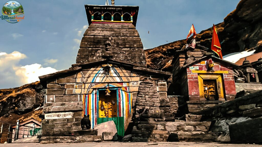
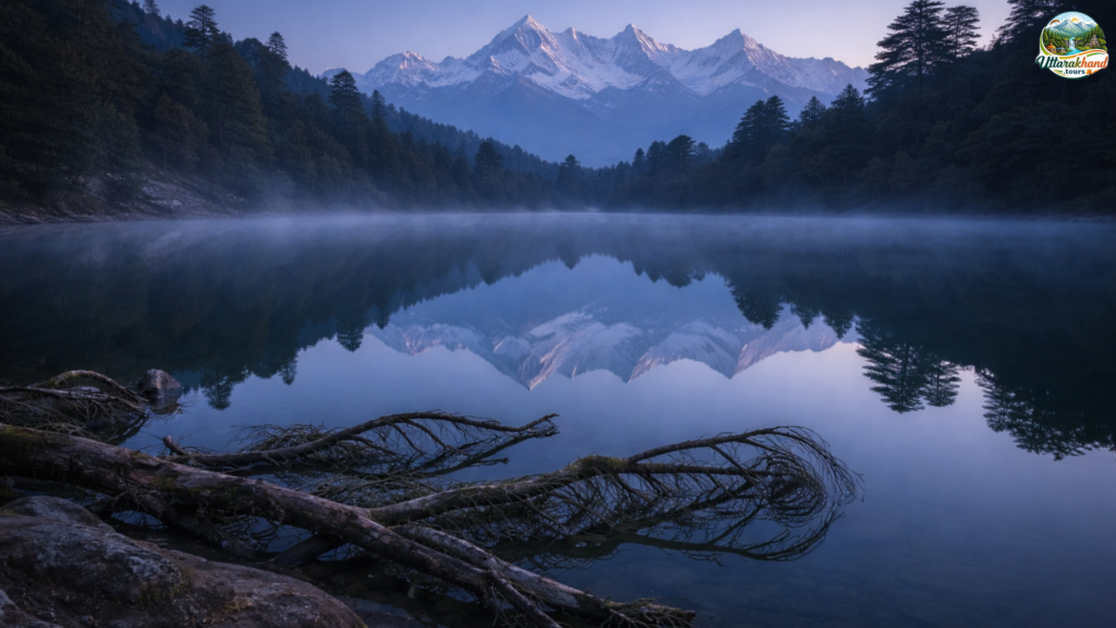
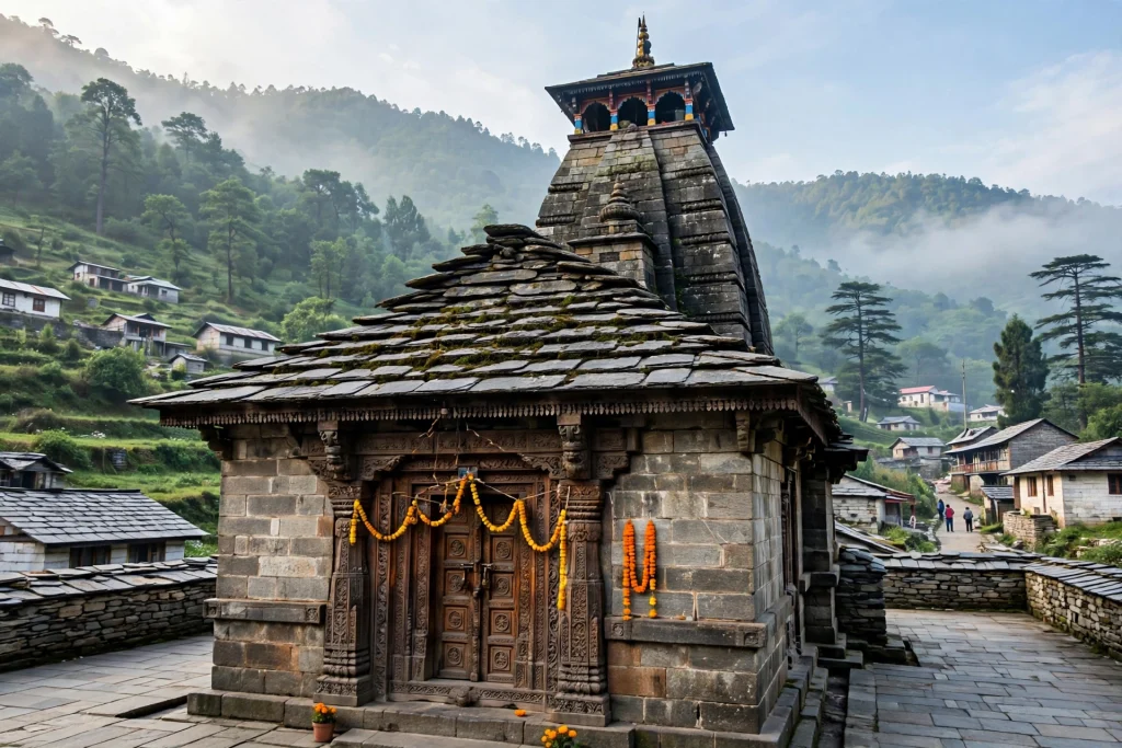
Kartik Swami sits close enough to several other Garhwal landmarks that it is worth combining rather than visiting alone. A relaxed 3–4 day circuit could look like this:
Chopta and Tungnath. Chopta — often called “Mini Switzerland” for its meadows — is a short drive from Kanakchauri (guides put it at roughly 25–35 km by road). From Chopta, a 3.5 km trek climbs to Tungnath, one of the Panch Kedar temples and, at 3,680 metres, the highest Shiva temple in the world. Chandrashila peak is another 1.5 km beyond Tungnath, and its sunrise is as famous as Kartik Swami’s. Read our full Tungnath guide before you go — and note that Tungnath closes for winter (it closed on 6 November in 2026, with the deity moving to Makkumath), so check the season before combining the two.
Deoria Tal. A beautiful high-altitude lake at 2,438 metres, famous for the reflection of Chaukhamba on its still surface on clear mornings. It is reached by an easy 2–2.5 km walk from Sari village, and it pairs naturally with Chopta and Kartik Swami in a single trip.
Ukhimath. About 30–40 km from Kanakchauri, Ukhimath is the winter seat of Lord Kedarnath — the deity moves here to the Omkareshwar Temple when Kedarnath closes for winter — and a pilgrimage centre in its own right.
Rudraprayag Sangam. On your way in or out, stop at Rudraprayag town itself, where the Alaknanda meets the Mandakini. It is one of the Panch Prayag confluences, and the sangam is a short walk from the main road.
Kalimath. Near Guptkashi, Kalimath is a sacred spot dedicated to Goddess Kali, unusual because the goddess is represented by a silver plate rather than a statue. It is an easy add-on if you are driving the Guptkashi road.
FAQs About Kartik Swami Temple
How long is the Kartik Swami trek?
About 3 km one way from Kanakchauri village (some guides say 3.5 km), taking 1.5–2.5 hours uphill depending on your pace, and 45 minutes to an hour back down. The final stretch is around 380 stone steps. Allow three to four hours for the round trip, including time at the temple.
Is there any permit or entry fee for Kartik Swami?
No special trekking permit is needed, and most guides say entry is free. A few operators note a small forest-entry ticket collected at the trailhead counter, and possibly a camera charge. Carry a government photo ID and some cash, and confirm locally — the position has changed over time and varies by season.
Can I visit Kartik Swami in winter?
Yes. Unlike the Char Dham shrines, the temple has no official closing season, so it stays open through winter. From December to February, snow can cover the ridge and the steps can turn icy in the early morning, so go prepared with warm layers and good-grip shoes, and check conditions in Kanakchauri before you start.
What is the best time to see the sunrise?
September to November gives the clearest views of the year, with October and November usually the sharpest. Start from Kanakchauri at about 4:00–4:30 in the morning so you reach the ridge before first light. The priest generally opens the shrine after sunrise, so plan darshan after the sunrise itself.
Is the trek suitable for beginners and families?
Yes — it is rated easy to moderate, and beginners, children and older trekkers do it regularly. The forest section is a steady walk; only the final flight of steps is steep. Take it slowly, carry water, and use a walking stick if your knees trouble you.
Is Kartik Swami part of the Char Dham or Panch Kedar?
No. It is a standalone shrine dedicated to Lord Kartikeya, not part of either circuit. That is part of its charm — it is often combined with Chopta–Tungnath or with a Char Dham road trip, but it stands on its own, on its own ridge, with its own story.
The Last Word
Kartik Swami does not shout for attention. There is no long approach march, no grand gateway, no town at its feet. There is a village, a forest path, a flight of stone steps, and then a small temple standing alone against the sky, with the whole Himalaya laid out in front of it and a legend of sacrifice and devotion behind it.
Go for the sunrise — set the 4 a.m. alarm, climb in the dark, and be on the ridge when the first light touches Chaukhamba. Stay for the quiet. Tie a bell if you wish. And when you walk back down to Kanakchauri, with the sun properly up and the valleys spread out below you, you will understand why the villages around this ridge have kept this temple alive for so long: some places do not need to be big to be unforgettable.
